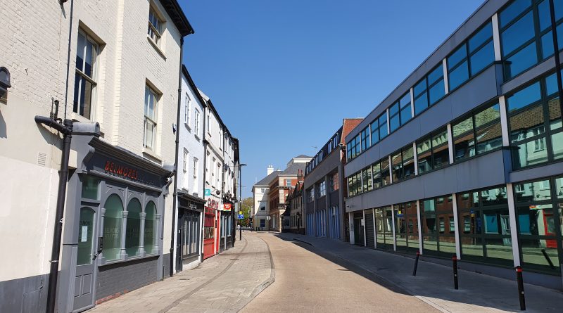
Streets of Norwich – King Street (upper end between Rose Lane and Prince of Wales Road)
Part of my Streets of Norwich project…. King Street is one of the longer streets in the city centre, with
Read More
Part of my Streets of Norwich project…. King Street is one of the longer streets in the city centre, with
Read More
Part of my Streets of Norwich project…. This is quite an easy street in terms of the history of the
Read More
Part of my Streets of Norwich project…. School Yard is located off of Bedford Street, just to the left and
Read More
Part of my Streets of Norwich project…. Looking into Old Post Office Yard, which is accessible from Bedford Street. Bedfords
Read More
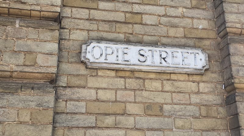
Part of my Streets of Norwich project…. Norwich in the 1880s, with Opie Street not having change much since then.
Read More
Further to my post about St. John the Baptist’s Church at Timberhill, this is one of the graves which is
Read More
This church is the main Anglican church of the Catholic tradition in Norwich and the building dates to the eleventh
Read More
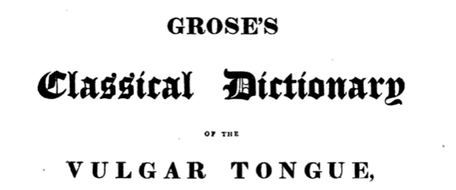
The Dictionary of the Vulgar Tongue was first published at the end of the eighteenth century, and given that the
Read More
Part of my Streets of Norwich project…. The Haymarket is a slightly quirkily defined area, cutting in between Brigg Street
Read More
As a follow-up to my post about Swan Lane. On the side of Turtle Bay is a sign marking that
Read More