Streets of Norwich – Church Alley
Part of my Streets of Norwich project…. Church Alley is a small street, or well, alley, which is located off
Read More
Part of my Streets of Norwich project…. Church Alley is a small street, or well, alley, which is located off
Read More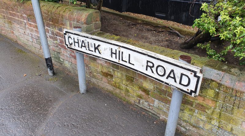
Part of my Streets of Norwich project…. Chalk Hill Road is located roughly between the S and V of Wensum,
Read More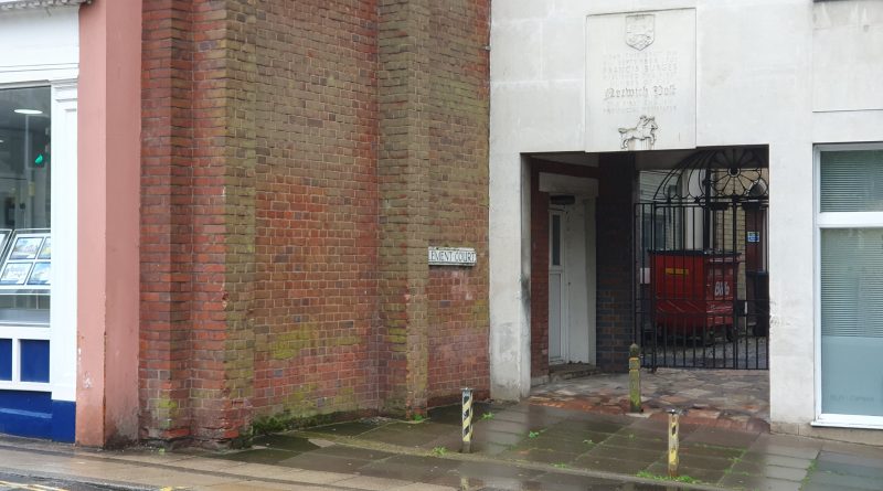
Part of my Streets of Norwich project…. There’s not much history left in Clement Court, but it does still exist
Read More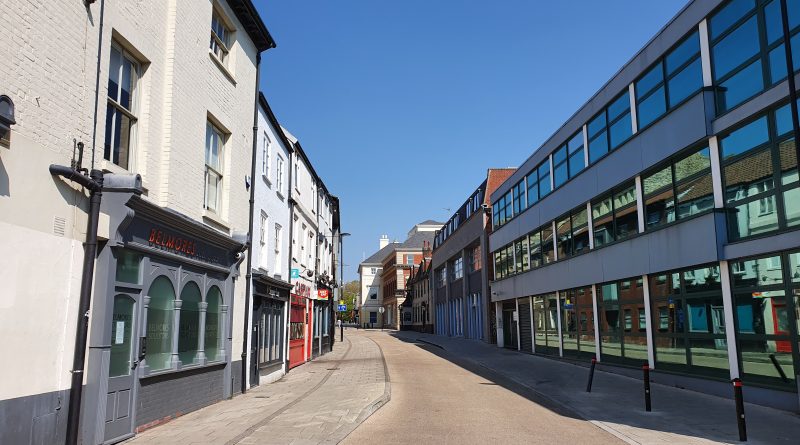
Part of my Streets of Norwich project…. King Street is one of the longer streets in the city centre, with
Read More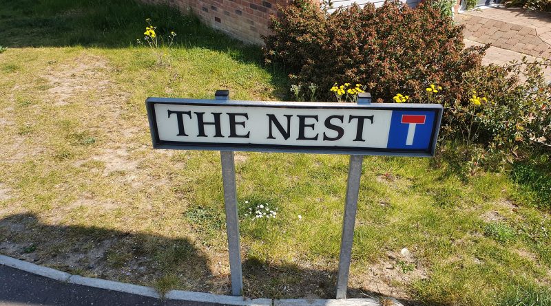
Part of my Streets of Norwich project…. This is quite an easy street in terms of the history of the
Read More
Part of my Streets of Norwich project…. School Yard is located off of Bedford Street, just to the left and
Read More
Part of my Streets of Norwich project…. Looking into Old Post Office Yard, which is accessible from Bedford Street. Bedfords
Read More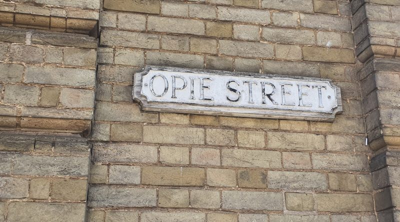
Part of my Streets of Norwich project…. Norwich in the 1880s, with Opie Street not having change much since then.
Read More
The Dictionary of the Vulgar Tongue was first published at the end of the eighteenth century, and given that the
Read More
Part of my Streets of Norwich project…. The Haymarket is a slightly quirkily defined area, cutting in between Brigg Street
Read More