Finding the Source of the River Wensum Part 3
PART 3 OF FINDING THE SOURCE OF THE RIVER WENSUM
When Nathan and I were training for the LDWA 100, we started on a series of expeditions to find the source of the River Wensum. I accept this isn’t as challenging as finding the source of the Nile or the Ganges, but there was limited ability to use public transport and venues open during the lockdown, so we had to be a little resourceful. Anyway, we got as far as Lyng, and I wanted to go further to complete what we started. Nathan has retired from walking now, so this time, I convinced friends Richard and Liam to come with me. It took us a while to organise, but with my complaining that I was tired after marshalling the LDWA Winter Poppyline on the Saturday (more on which later) we were ready to go.
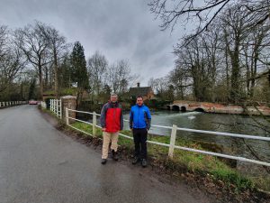
Standing in the same spot as my photo from the last section of the walk, we started at Lyng Mill. The fun fact for this mill is that there is some support for the theory that it was where blotting paper was first created, a mistake caused by messing up production of normal paper. Another great Norfolk achievement.
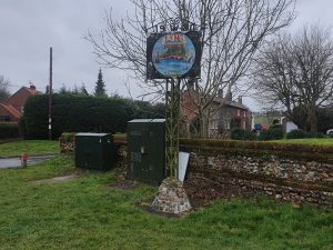
I was still quite sleepy when I took this photo, but Richard noted that the village sign notes some other spellings of the village’s name. The village sign was placed here in 2010 and shows the church, the now disappeared medieval abbey, the mill, a blacksmith and Humphry Repton who designed the gardens at Lyng Rectory. Lyng might now feel like quite a sleepy village, but it was once an important settlement with its two religious buildings.
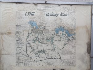
An old heritage map of the village. Some far-sighted council likely put this up 20 years ago and it’ll probably stay here until it falls down. We walked through the courtyard of the Fox at Lyng to get through to the church, reminding ourselves that next time we do this then we’ll get a Sunday lunch at a pub en route.
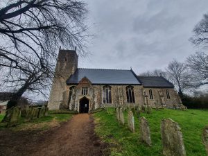
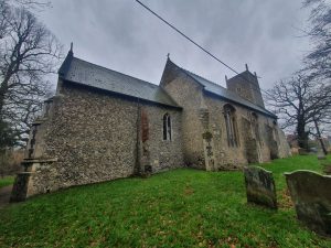
St. Margaret’s Church in Lyng, which deserves a longer visit, as this was a building with some considerable character.
The west tower dates to the thirteenth century, as does the bulk of the nave. The font is also from this period, another remarkable survival.
This is rather odd (the church I mean, not Richard standing in the foreground), as the chancel is off-centre compared to the rest of the building. It transpires that the chancel was rebuilt in the 1860s on the site of the original floorplan, which suggests to me one of two things. Either there was an north aisle which has been brought under one larger roof later on, or the church was widened in the late medieval period and they never got to widening the chancel as well. I suspect it’s the latter, there’s not much space on that north aisle.
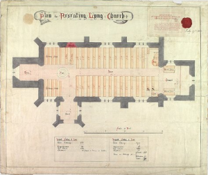
The Victorian plan for the new church.
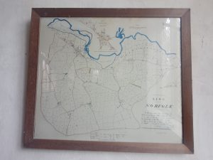
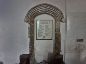
I think this was appropriate to the day’s quest, a map of the local area on the wall of the church, with the river’s route being clearly noticeable.
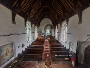
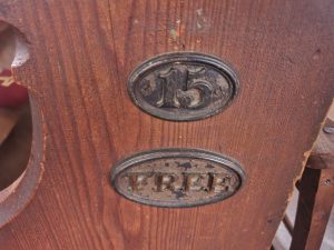
This is a legacy of when some pews were available for free usage, as opposed to those who got a seat up-front but had to pay pew rental for that benefit.
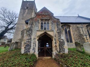
A blocked up door, which I initially couldn’t work out, but I think it was the former entrance to the two-storied fifteenth century porch.
There are numerous more stories to tell about this church, I’ll return…..
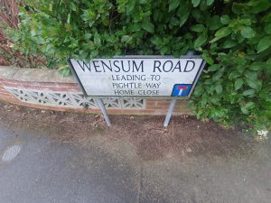
Given the walk, I felt the need to take a photo of this sign.
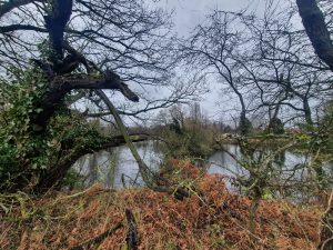
Our rule was to try and catch sight of the Wensum whenever we could. Walking through Lyng, this isn’t it, these are the lakes formed from the former quarry that was located here. However, the Wensum winds it way behind here, so we went to investigate.
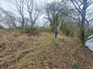
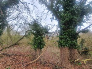
We walked by the lakes, located on Quarry Lane, in the hope of seeing the river at the rear of the lakes. Liam took the lead here in case there were any dangerous animals in the undergrowth.
To cut a long story short, it’s not really quite possible to see the river, but we could see the route that it was taking in the distance. So we walked back to the road, but pleased that we had investigated.
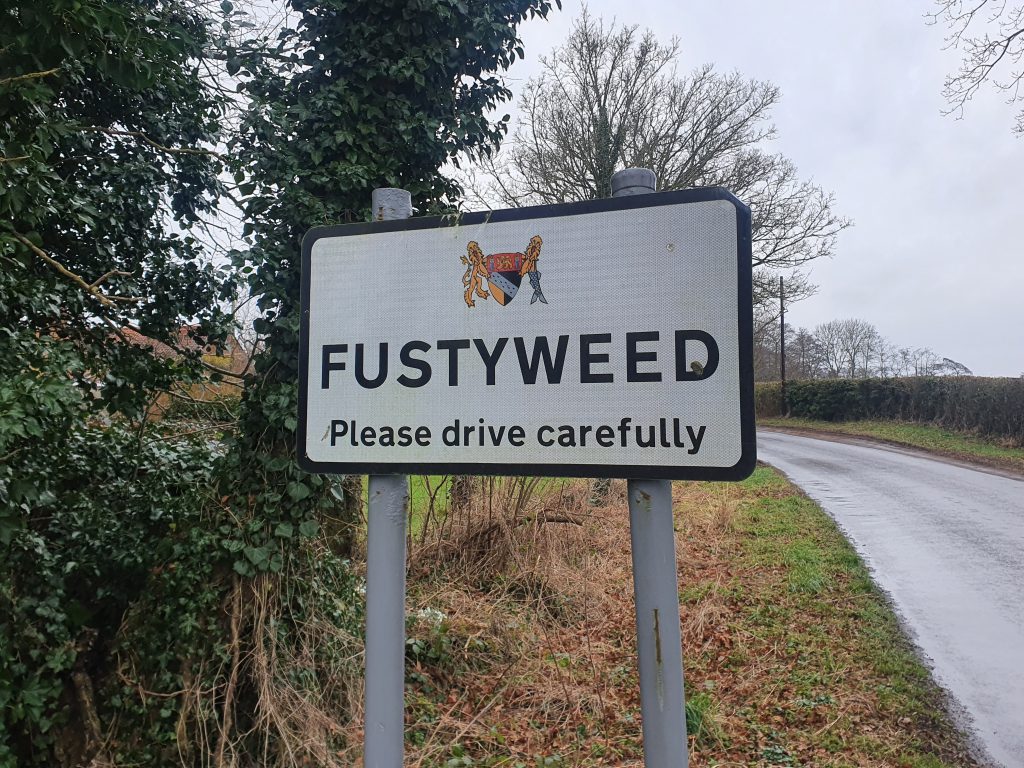
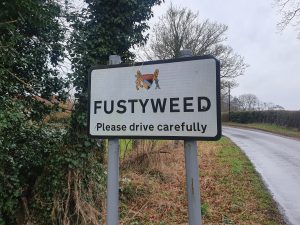
Back on the main road we walked through the metropolis of Fustyweed, which seemed to consist of four houses, of which one was a treehouse. This small hamlet has name origins which are uncertain, although there’s a guess at trying to explain the situation at http://www.lyngonline.org.uk/whats-in-a-name.html.
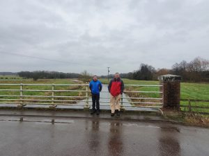
This is the bridge on Elsing Lane, with Richard and Liam standing in front of the river as it heads towards Norwich.
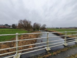
And there’s the landscape from the other side of the road, looking towards the source of the river.
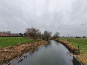
A photo from the same location, without the bridge’s ironwork in the way.
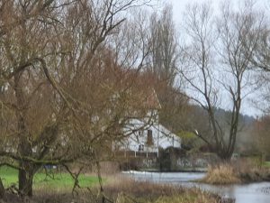
The village’s mill is visible.
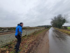
As we walked northwards, a rather fancy wall appeared, which I imagine is the country estate wall of Bylaugh Park.
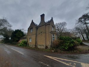
One of the lodges at the entrance to the road leading to Bylaugh Park.
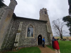
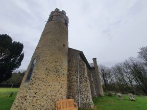
This will definitely need further investigation, St. Mary’s Church at Bylaugh. This is kept permanently locked, but there’s keyholder information and we’re planning to get in touch to visit this church in the future. Richard, who is the most social, is going to get in touch with the church as there are some interesting things to see inside it seems.
The tower is late Saxon or early Norman, the rest is a much later rebuild from when a grander building was needed for the hall. It’s positive that this church survives as there’s no real congregation here, the hall isn’t lived in and there are very few residential properties nearby.
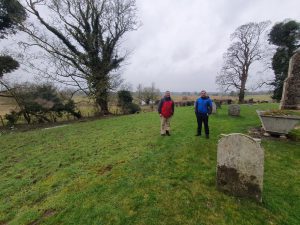
Richard and Liam standing in the graveyard, and this is really quite a pleasant place to be buried (as far as these things go….) with its view over the River Wensum.
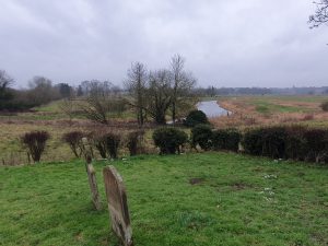
All very tranquil and there’s a newer section to this graveyard a little nearer to the road. The Wensum is quite wide at this point, it’s showing few signs of narrowing at the moment.
The pleasant path from the church back to the road.
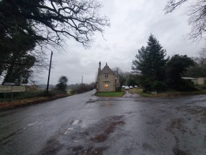
The second lodge of the hall. The road here goes to the north of the Wensum and we could see the river’s route, but couldn’t get near to it. The hall is worthy of more investigation and I wonder whether it might be possible to visit, although it’s currently in use as a training centre. The hall had been completed in 1852 and was designed by the architects Charles Barry, Jr. and Robert Richardson Banks. It was one of the most substantial residential buildings in Norfolk and one of the first to be constructed with a steel girder frame. The building was damaged during the Second World War after it was used by the military, and there were attempts to turn it into a nursing home following the end of the conflict. The core of the building was flogged off in 1950 at an auction, including the roof and the interiors.
I noted this destruction to Richard and Liam as I had found that information on-line. So imagine my surprise when three minutes later we walked near to the entrance to Bylaugh Hall and it looks very complete with not much evidence of destruction. It transpires that it was only around twenty years ago that it was decided to save the building, and a grand reconstruction has taken place at what was previously a wreck. There’s more about this work at https://thecountryseat.org.uk/2013/02/22/bylaugh-hall-the-hidden-history-to-a-remarkable-restoration-opportunity/.
There is some evidence that President Eisenhower came to the building during the Second World War and apparently Winston Churchill visited on a few occasions. It’s hard to imagine that a former President of the United States has been driven down this quiet back road, but I rather hope that the story is true.
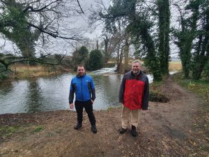
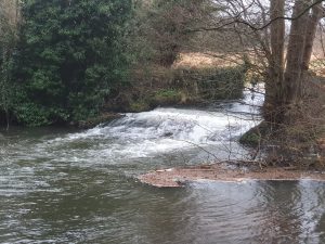
The walk then goes to the Swanton Morley Waterfalls. You can see the look of excitement in the faces of Richard and Liam, I think they felt quite humbled to be near such an important site. This is very much Richard’s patch of Norfolk (I mean Dereham, rather than this particular stretch of mud), although he hadn’t been aware of this water feature despite driving by it on numerous occasions.
I’m surprised that there isn’t a visitor centre by this major attraction, although I accept that it’s not quite Niagara Falls. This isn’t the River Wensum, it’s a channel that was created from it for the purposes of constructing a mill. I think that’s one thing that I’ve learned from this whole process, there were a lot of mills along stretches of the river, an essential early power source. We saw a few fishermen in the area, and although this isn’t a hobby that is in the slightest bit of interest to me, I can imagine it’s a quiet and peaceful location if they can ignore the sound of the thundering waterfall.
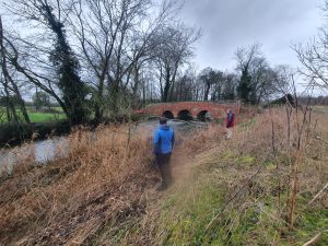
The river reappears at Swanton Morley, including this rather lovely bridge, but more about that in the next post.
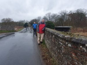
And here are Richard and Liam on the bridge, celebrating the completion of our short walk.
Despite Richard being told clearly not to look at the next part of the river walk, which we’ll tackle in a few weeks, he ignored that and excitedly ran towards it pointing. I disregarded his exuberance and obsession with questioning authority. I mentioned that Nathan would have been appalled at this continued breach of the rules that we had established, but Richard didn’t seem concerned at his lack of river walking etiquette. Anyway, I digress….
And that’s that, not the longest of walks, just 7.3 kilometres, but it was really rather lovely to get nearer to the source of the River Wensum……. And just as we finished the walk, I had woken up after my lack of sleep from the previous evening, which perhaps wasn’t ideal timing.

