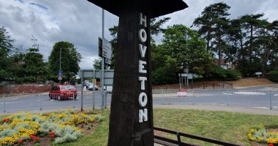
GeoGuessr (Hoveton and Wroxham Version)
I already have a better explanation (well, longer explanation anyway) for this plan. In essence, whilst lockdown is on, I need to find ways of walking nearby to Norwich in quiet areas for my LDWA 100 training. So, I’m using GeoGuessr to pick out five random locations within a certain area which I’ve defined and then walking to them, to see what kind of story I can uncover.
This walk was very basic, as it was part of our longer Wroxham Wander (I’m pinching the idea of naming walks in the way that the LDWA do now….) walk. Anyway, this was just five random locations in Hoveton and Wroxham, done primarily to see a little bit of the villages that we might not otherwise have done.
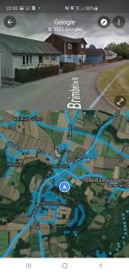
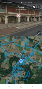
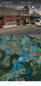
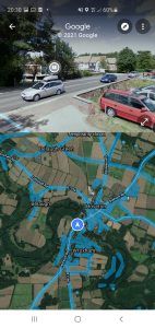
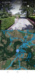
Our five random locations, all within about five minutes walk of each other…..
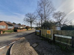
Our first location was on Brimbelow Road, which is a long road with many riverside properties, all quite decadent. This was the part of Hoveton that expanded during the late nineteenth century and early twentieth century, when it became something of a holiday destination.
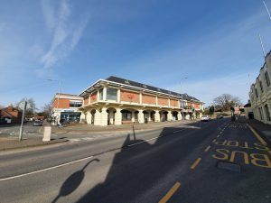
Our second location was Roys of Wroxham, known as the largest village store in the world. They’ve been trading since 1895 when the Roy brothers opened their first store in Coltishall, and they opened in Hoveton in 1899. Although the store is located in Hoveton, it takes its name from when supplies used to be sent to them at the local railway station, then known simply as Wroxham (it wasn’t named Hoveton & Wroxham until 1966). That meant that the store became known as Roys of Wroxham and that name has stuck since.
The building in the above photo is the department store section of Roys and was constructed in 1966, although was nearly entirely destroyed in a fire that took place in May 1995. A temporary store was opened for a year so that Roys could keep trading, but their new store was open by mid-1996.
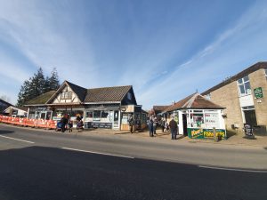
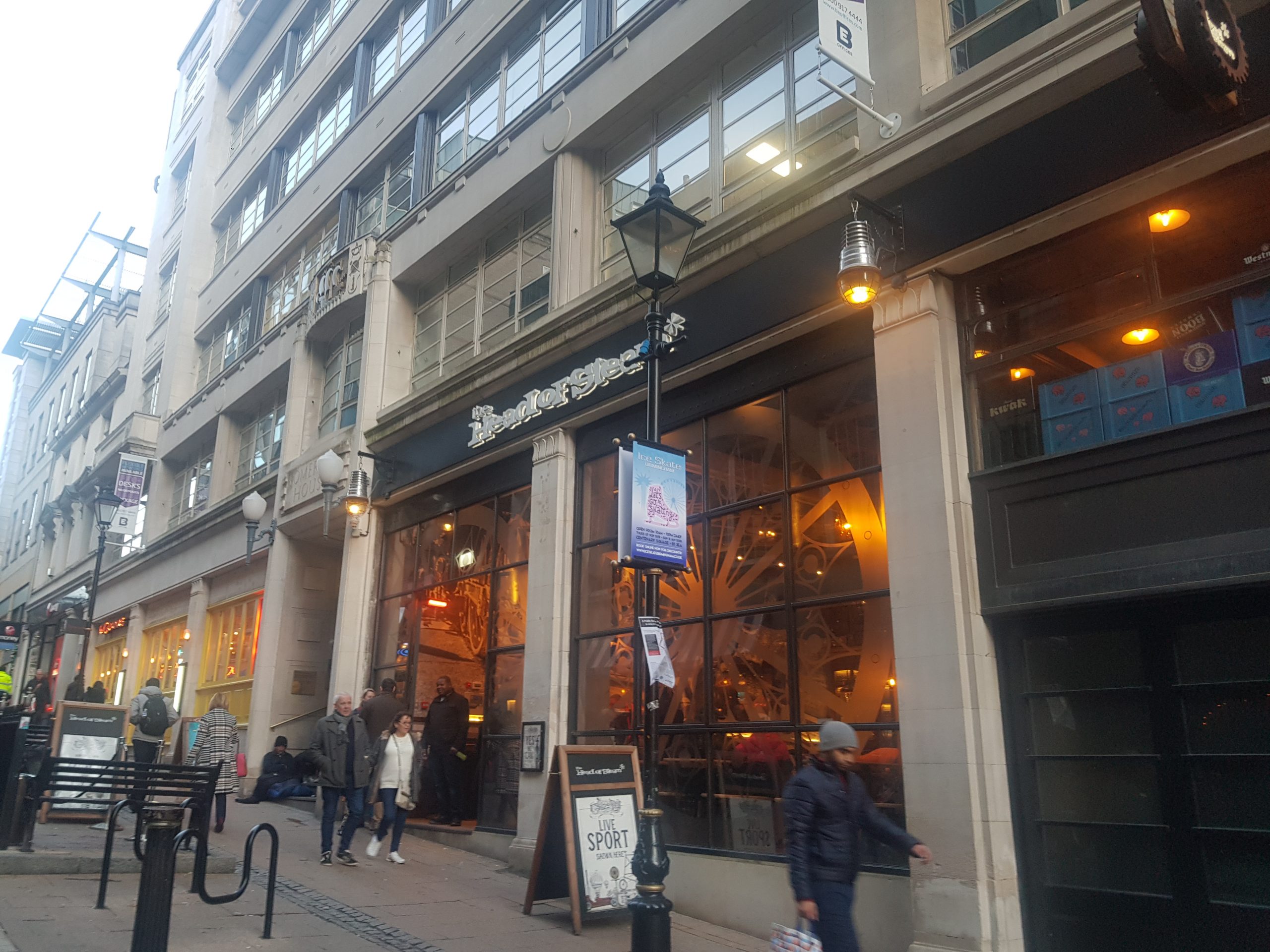
Our third location was the chip shop, although we visited Greys Chips over the road for lunch. It’s a busy little area of Wroxham, it’ll be packed in the summer when (well, and if) lockdown is over.
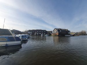
A photo by the river at the rear of the King’s Head and there’s a path which goes by the river all the way to Hoveton & Wroxham railway station.
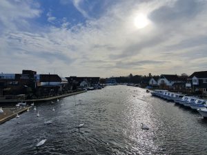
Lots of swans on the River Bure. Clive (someone I know who panicked when he saw a swan in the river and he capsized his canoe) would very much like it here….
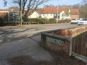
Our fourth location was Grange Walk, named after the Grange building on this street. The Grange is Grade II listed and was built in the early nineteenth century, although it likely has an older core as there’s been a structure there for some centuries. Today, the Grange is in use as an antique dealer’s shop.
One of the boats in the boatyard next to the Bure.
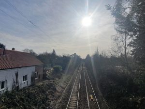
We missed the train passing under here by only a minute, so there’s no photo of the new Greater Anglia fleet…. This is the Norwich to Sheringham line, perhaps a surprising survivor of the cuts in the 1950s and 1960s. The line from Hoveton & Wroxham to Aylsham, the Bure Valley line, was less fortunate and was closed, although is still in use as a heritage railway.
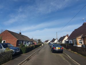
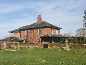
Our fifth location was at Nobel Crescent, located near to St. Mary’s Church.
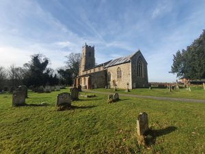
St. Mary’s Church, a Grade I listed building of note because of its Norman door, although that wasn’t visible when we visited as the building was locked. We did compare a photo of the graveyard today with the one taken by George Plunkett in 1934, and it’s notable how some gravestones have disappeared since that time. I do wonder where these headstones have ended up, whether they’ve been laid flat or just destroyed.
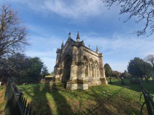
The Trafford Mausoleum, located in the churchyard of St. Mary’s and built in around 1830 to be the family vault of the Trafford family, who lived at the now demolished Wroxham Hall. The design was deliberately medieval and is attractive, although it really does dominate the churchyard.
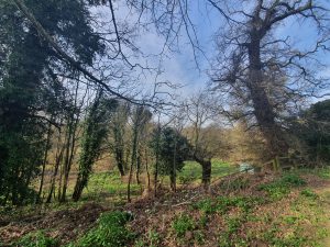
There’s a drop at the rear of the church down to the River Bure, which shows quite sensibly that they’ve located the church on a raised piece of ground.
The Grade II listed Church Cottage, located next to the churchyard of St. Mary’s. This property was constructed in around 1830 and it was extended in 1999 in a similar design.
Walking down Church Lane, whilst listening to Nathan muttering something about me faffing about taking photos…. This street is the old heart of Wroxham when it was a medieval village, although the centre of the settlement has shifted towards today’s tourist heart of the river.
I never knew about Caen Meadow until we saw a sign pointing towards it, and it’s a rather lovely area near to the River Bure and there are numerous benches and places to sit, along with the opportunity to paddle in the river (we didn’t do this). It’s not known why Caen Meadow has this name, it might be because stone from Caen was used in the building of the nearby St. Mary’s Church and so this could have been brought up from here. Alternatively, it has been suggested that there might have been a monastery on this site which would have perhaps been part of the lands owned by the Abbess of Caen.
Anyway, this was the shortest GeoGuessr challenge that we’ve done, being completed in around twenty minutes. But, it did have the advantage of bringing us to a part of Wroxham that I’ve never visited before. And then we had to walk back to Norwich…..

