GeoGuessr (King’s Lynn Version)
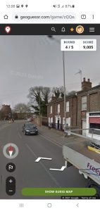
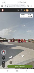
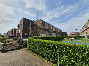
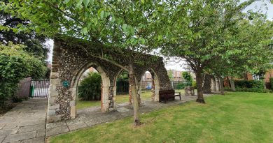
I know King’s Lynn reasonably well, but there’s still clearly much history that I’ve yet to discover. I’m using my GeoGuessr tactic of getting the web-site to suggest five random locations in the town and then visiting them. I’m not claiming it’s akin to climbing Mount Everest in terms of excitement, but it’ll do for the moment. Also, on this one, and unusually, I visited the locations in order that GeoGuessr presents them. The five random locations generated are in the screenshots above, and I used a map of only central King’s Lynn, which had a total of 71 possible places.
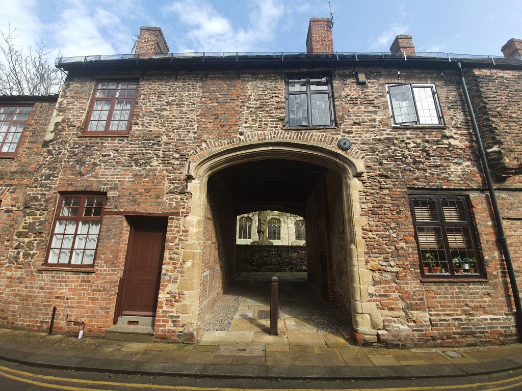
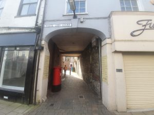
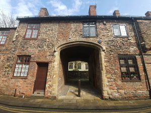
I started off in the town centre, near to Greggs, where I’d just accidentally purchased a chicken bake. Above is White Lion Court, with its post-box located just inside the arch. It’s named after the White Lion pub which once stood on Norfolk street, with that archway now also leading through to Vancouver Court and Burtons Court.
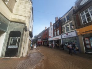
And here’s the first location, the High Street of King’s Lynn. All very decadent.
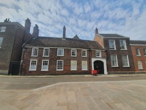
The walk to the next location went by numerous historic buildings, this one is 2 St. Margaret’s Place, which is where Sparrows Hall stood. It was rebuilt in 1513 and has since been lived in by merchants, doctors and a vicar, although the frontage to the building is from the early eighteenth century. This is Grade II listed and the record notes that many internal features remain in place, including eighteenth century doorways and frames.
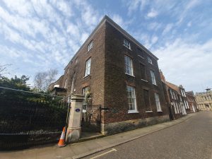
A short distance down the road is St. Margaret’s Vicarage, which was built for a wealthy merchant in around 1821, but taken over by the Church of England in 1912 to be used as a vicarage. It’s a Grade II listed building and the record notes that a few internal features remain, including some wood panelling and section of plaster cornices (which are apparently uninteresting). Before this residential building was constructed, there was a seventeenth century building here that the Burney family lived in, of which perhaps most notable was Fanny Burney.
The stretch of wall doesn’t look overly exciting, but there’s a plaque with information attached to it noting that one of the people who lived here was William Claiborne (1600-1677) and his son went off to the New World, becoming the first Surveyor of the Virginia colony in 1621.
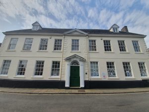
This is St. Margaret’s House which was built in around 1755 for Edward Everard (1699-1769). It replaced the Hansa Merchant’s House which were former warehouses and office buildings relating to the Hanseatic League. The current building is once again called Hansa House, although I’m not entirely sure what it’s used for now, I think it’s rented out as offices and is also licensed to hold weddings.
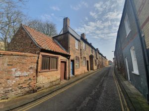
Priory Lane, which I think retains something of a medieval feel. OK, imagination is required as there’s a tarmac road with double yellow lines on it, but otherwise, it has that feel.
This is the site of St. Margaret’s Priory, which stood here between around 1100 and 1538, and was attached to St. Margaret’s Church. The buildings along here date from the fourteenth century and they were restored in 1975, with the Duke of Edinburgh popping along in early July 1975 to formally commemorate the work.
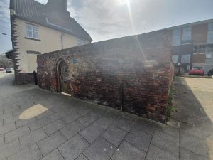
This was a complete surprise to me, I have walked nearby to it before and never noticed it. This is the value to me in doing GeoGuessr in this way, it means that I have to walk to places I wouldn’t have thought about going to, thereby actually noticing things….
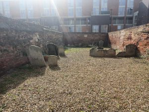
It’s the Jewish cemetery in the King’s Lynn, although unfortunately it’s all locked up and so I had to point my camera through the bars. It’s in a walled off area of its own and I can see why they want to protect it. Known as Millfleet Burial Ground, it was used by the community of Dutch Jews who lived here between around 1750 to 1846.
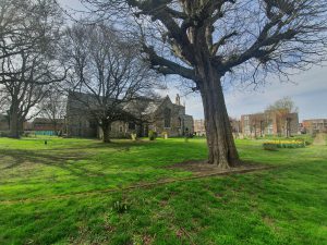
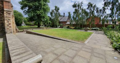
All Saints Church, which is located within a small housing estate and seems to be the geographical hub of the community, although I’m not sure if it’s the spiritual hub. It’s the oldest parish church in King’s Lynn and has been here since at least the eleventh century, although the current building is primarily from the fourteenth and fifteenth centuries. There was an anchorite cell here and there looked like some interesting structural elements to the building, not least with the tower that has fallen down. I was hopeful of seeing inside when I saw that the outer doors were open, but, unfortunately, the inner doors were locked. I note that others have also struggled to gain access, which is all rather unfortunate.
I couldn’t find the exact spot for the second location and wasn’t overly concerned, it was near enough.
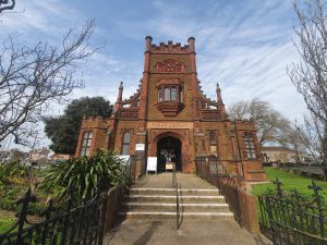
This library is one funded by Andrew Carnegie, a wealthy man who spent much of his money on building libraries in numerous countries, including the United States, the UK and Canada. In the end he funded 2,500 libraries, a remarkable contribution to the state of world literacy, and he was here in person on 18 May 1905 to open King’s Lynn’s library.
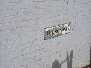
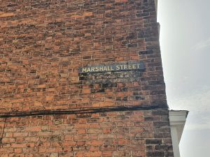
I haven’t quite worked out the origins of this street name (indeed, I haven’t worked the origins out at all), but this sign is on the road that leads into the bus station.
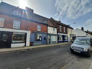
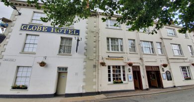
The third location, which is on Norfolk Street, very near to where I started off.
There are several of these older street signs in King’s Lynn, and the traces of an even older one underneath.
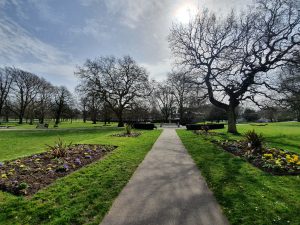
My fourth location was back where I had just come from, so I returned via St. James’s Park, and I hadn’t realised just how big this park was. This section was a churchyard which was turned into an area of parkland at the beginning of the twentieth century.
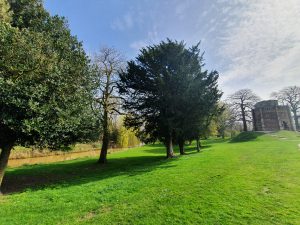
The park was reasonably busy, but it’s such a large space that it didn’t feel particularly congested. On the right of the above photo is Red Mount Chapel. There wasn’t much litter about either, so it wasn’t like the scenes I’ve seen in newspapers of how hordes of locals have descended on parks and left their rubbish behind.
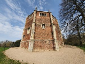
And this is Red Mount Chapel, more formally known as the Chapel of St Mary on the Mount, and its been here since 1485. It became used as a stop-off for pilgrims who were walking to Walsingham, but following the Dissolution of the Monasteries it was taken over by the town council. It rather lost its religious purpose after that, with the signage at the site noting that the council started to dismantle it and the structure has since been used for water storage, as a gunpowder store, as a study, as an observatory and as a stable. It has been restored recently and looks in good shape externally, although I can’t imagine there’s much original left inside.
The Gaywood River meanders through the park.
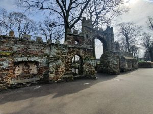
I never knew that this was here either, it’s the Guannock Gate, which was part of the town’s defences. These defences were never really tested during the medieval period, it was only during the Civil War that they became useful, and they’ve never been breached. Most of the defences were removed in the nineteenth century, including some big chunks as they were in the way of the railway when it came to King’s Lynn. This section is more in keeping with an ornamental garden, to interest those promenading around the park.
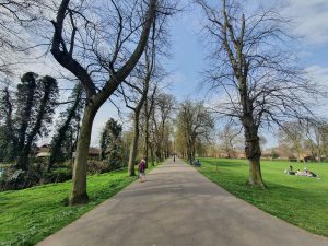
Talking (or writing) of the promenading, this is the Broad Walk, which was established in 1753 to allow locals to have somewhere to walk and exercise. However, the owners didn’t want the riff raff walking through here, so a gatekeeper was installed to ensure that only the wealthy and fashionable classes were allowed to walk in this area. Important to maintain high standards….
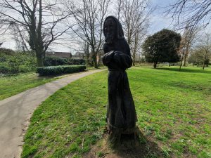
A wooden statue along Broad Walk.
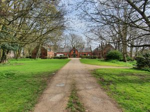
Framingham’s Hospital, which is no longer in use, but was originally constructed as almshouses in 1677, although the current structures date to 1848.
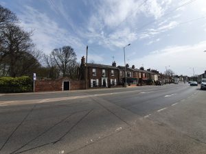
The fourth location, which was on London Road and not that far from the second location.
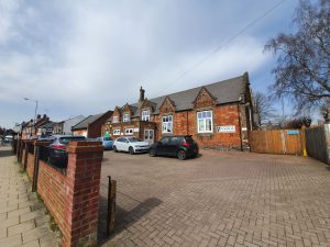
A former school along Millfleet.
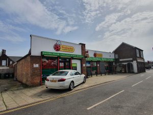
This is very odd, a Biedronka store in King’s Lynn, which doesn’t seem to fit the normal look of the Polish chain. I like this chain in Poland, as it tends to be cheaper than Aldi and Lidl, but this one seems a more unique set-up and I’m not sure exactly what link it actually has to the Biedronka in Poland.
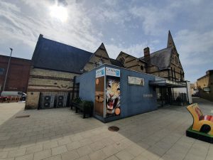
This building was constructed in 1859 as the Union Baptist Chapel, designed by RM Smith. It was turned into the town’s museum in 1904, an innovative way to use the building, and it has continued to be used for that purpose.
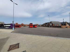
The fifth location was King’s Lynn bus station, which concluded this little adventure. I accept that this was hardly the most challenging of walks in terms of the length, but I did find more history than I had expected simply by heading off in random directions. There were numerous areas I didn’t get the chance to visit, so I might have another go at this little exercise next week. How lovely….

