Norwich History by Parish : St. Michael at Thorn 1/2
And a new little project that Jonathan and I are undertaking because this lockdown went on for longer than we had anticipated, so we had time to do this. It’s a bit niche (our project I mean, not the lockdown), I’ll accept that, but there we go. Effectively, it’s walking around Norwich, ancient parish by ancient parish and seeing what is there now compared to a map from the 1880s (and the 1920s). There’s a PDF of these boundaries to provide some extra background to this whole project.
This week’s meander was around the parish of St. Michael at Thorn and this is one that has been badly hit by a combination of war damage and what I would consider to be quite incompetent city planning. The church was damaged during the Second World War, but it could have been replaced or the tower saved. Instead, the site was tarmaced over and turned into a car park. Housing and pubs on the other side of Thorn Lane were torn down in the 1960s and replaced with a small number of commercial units, but mostly more car parks. There are relatively few old buildings surviving on either side of Ber Street and the entire area between Surrey Road (sometimes now all referred to as Surrey Street) and Ber Street has been flattened to build car parks. All of the yards were removed and no parish boundary markers remain today that we could find.
Such is the devastation caused by the demolition, not one single listed building seems to remain in this parish. However, there is some good news, there is another part of St. Michael at Thorn parish which is near to the castle, separated by St. John Baptist Timberhill parish, so that’s where we will visit next week.
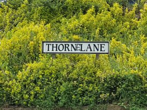
The centre of this parish is (or was) St. Michael at Thorn parish church, located on Thorn Lane. Or, as some local wit has amended it to here, Thorne Lane. The church was originally known as St. Michael on the Hill, but also as St. Michael Spinas, which is the Latin word for thorns. So, they’ve named a church as it had a load of thorn bushes in the churchyard, which were also still there in nineteenth century accounts.
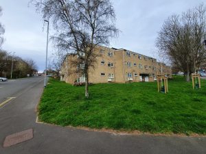
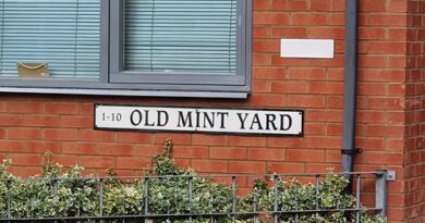
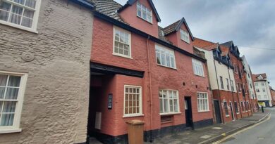
This is the corner of Rouen Road and Thorn Lane, the edge of the parish. Only this frontage is located within the parish, but this was all Paradise Place which was an area of much denser housing. It retains the same name today, but there’s more greenery and this is some of the limited amount of new property that has been constructed in this parish over recent decades.
Thorn Lane used to carry on to the left and go down to King Street through the old brewery, but post-war redevelopments have seen that link removed. There’s a photo from around 1910 of Kahler and Sons bakers, which was pretty much in the centre of my photo above.
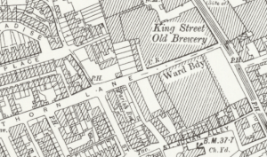
This map from 100 years ago is hard for anyone today to be able to place into the current landscape, but the top section (on the left) of Thorn Lane is still there, and King Street is still there on the right of the map. Rouen Road ploughs through the middle of the map today, roughly where the ‘A’ in Thorn Lane is located on the map.
This is today the entrance to the EDP’s car park, but it was once where Bacon’s Square was located, named after Nicholas Bacon’s house which was located nearby. Just to the right of this, George Plunkett took a photo in 1937 (whilst standing on Thorn Street) of what was then Middle Square.
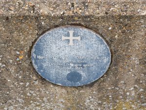
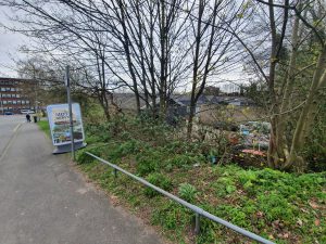
A rather faded sign which notes the church that was once here.
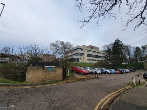
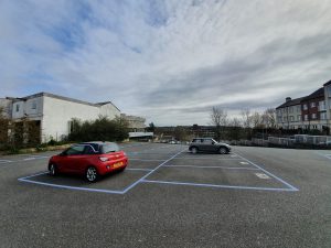
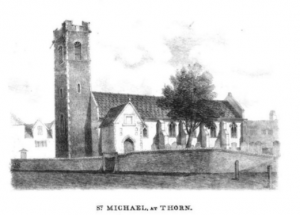
This is a planning mistake, and quite a sizeable one in my view. George Plunkett shows what was here in the 1930s, which was St. Michael at Thorn church from which this parish takes its name.
There was likely a church here from the late Saxon period, but it was rebuilt in the medieval period and a steeple added in 1430 following another major rebuilding effort.
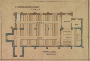
There was another substantial renovation which took place in the Victorian period, with this plan dating from 1870. It could be argued that this didn’t go entirely to plan, as the tower fell down on 3 November 1886 which wasn’t at all ideal, especially as it took some of the nave with it. The cost of this restoration, which restored the tower to its previous appearance with the exception of the pinnacles and a parapet, cost £500 and the church struggled to raise this. I have some sadness here to think of how much people struggled to raise this money for their church, which they viewed as important and wanted to be successful. They did well though, the damage was repaired within one year of the tower collapse and the service at its reopening was very well attended.
The nave and chancel of the church was destroyed during air raids during the Second World War, but the tower survived. There was talk of rebuilding the church in 1948 and costings were drawn up, but this was at a time when there were enough churches in Norwich and there wasn’t enough support for its reconstruction. Just down the road, St. Julian’s Church had also been damaged and it was decided that only one church needed saving. Indeed, the door from St. Michael’s was used as part of that reconstruction, so at least something remains. The Church of England had the power though to do more here, they were quick to demand locals pay money that they didn’t have to repair the church in times of need not that many decades before, but they abandoned it with perhaps undue haste. Anyway, George Swain took a photo of the doorway in 1952, just before it was moved.
As for the reuse of this site, I think it was idiocy to turn this entire area into a car park. It could have been turned into a play park as happened at St. Paul’s church in the city, something that was a useful amenity to the local population. It was decided to save the towers at St. Bartholomew’s Church in Heigham and St Benedict’s Church on the street of the same name, so that could have been done here.
Located over the road from the church, likely where the residential home is now located on the corner, was a grand house. Blomefield notes:
“The house over against the church with a large garden, of 3 or 4 acres thereto belonging was anciently John Corbet’s; then Edward Southwell’s, after that Alderman Tho. Grene’s; after that Sir Nicholas Bacon’s city house; and during the time Bishop Reynold’s was repairing the palace, he dwelt there; it was a grand house, but is now converted into small tenements.”
Located next to the church, and bordering onto the parish of St. John the Baptist, was the Windmill pub and then two doors down from that was the Exhibition Tavern. The Windmill pub had traded as a licensed premises from at least 1760, but the building was damaged during the Second World War and the City Corporation compulsorily purchased it in 1958. They then demolished it in 1970, but George Plunkett has a photo of Windmill Alley which he took from the churchyard in 1937 and that shows the rear of the pub. The Exhibition Tavern traded from the 1860s, but was closed in the early twentieth century when it was decided nationally to reduce the number of licensed premises.
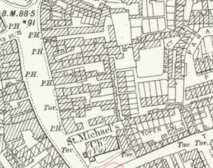
For anyone who doubts the number of pubs in Victorian Norwich, this is what existed around St. Michael’s church in the 1870s, the PHs being public houses and the Tavs being Taverns. All I can say is what a time to be alive…..
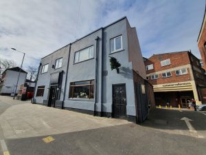
I don’t know why there’s a Christmas tree stuck on the side of this building in April, but this is located opposite the end of Thorn Lane.
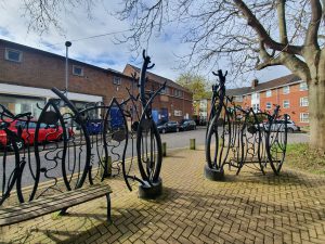
A sculpture which was installed here in 1999, which I’ve never entirely understood. Given that, I’ll just quote what Norwich City Council say about it:
“The railings combine forms which reflect the tree-trunks and leaves with mechanically inspired springs and zigzag forms. They were created both for and with the residents of Brooke Place responsible for modelling the roundels in clay which were then cast in bronze and fixed to the railings.”
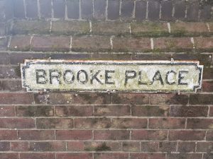
Brooke Place stands today in the vicinity of where Brooke Yard was once located, although none of the streetlines match up.
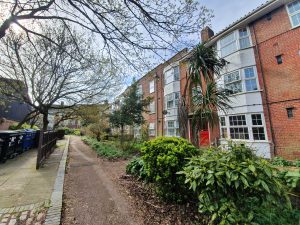
This is Brooke Place today, with the access road to it (on the John Lewis side) once being the route of Berry’s Court.
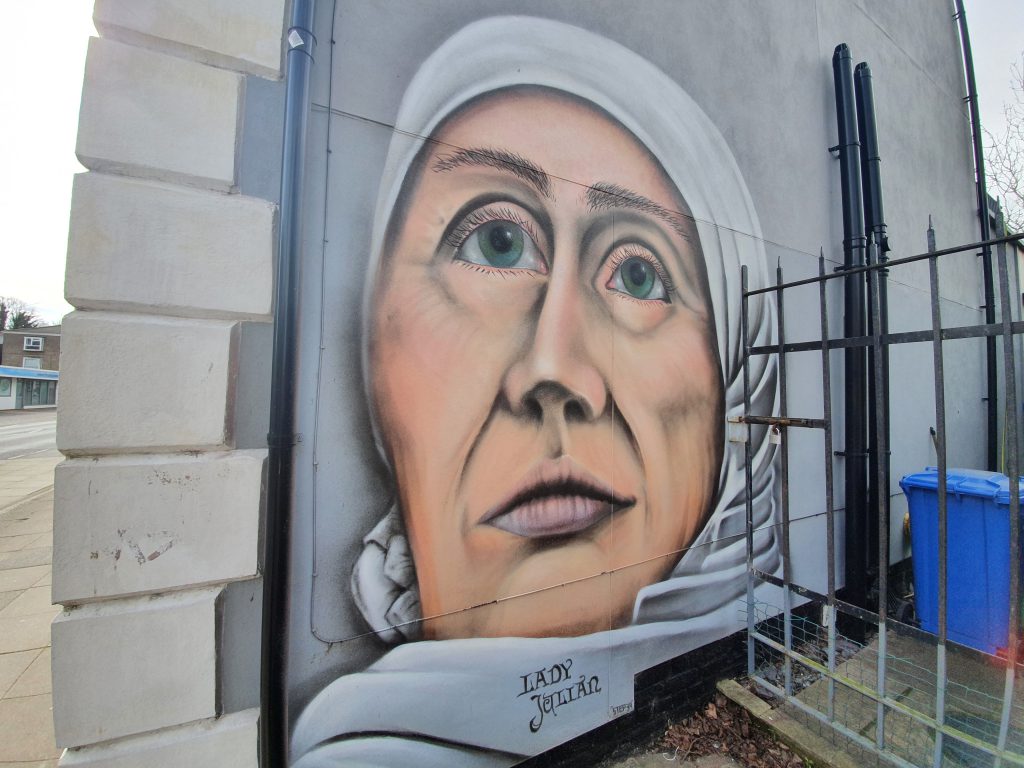
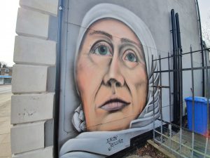
Some street art of St. Julian of Norwich.
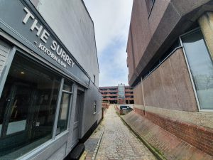
This is Surrey Grove, a route that has been here for a few hundred years, although it was once a tree lined route on either side. It’s all a bit less salubrious today.
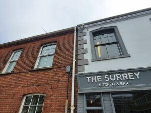
The parish reaches Surrey Street, but on the left hand-side of Surrey Grove the only building that is part of the parish is now called the Surrey Kitchen & Bar, or what I still consider to be the Surrey Tavern. This has been a pub since at least the 1850s, and despite some regular brief periods of closure over the last couple of decades, it is continuing to trade.
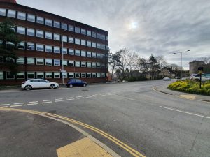
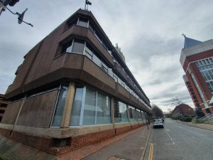
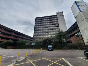
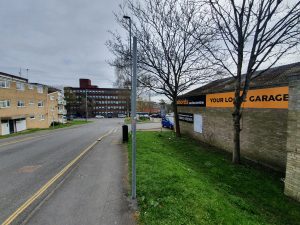
This ugly building (I think it’s ugly anyway….) is Norfolk Tower and is one of the tallest in Norwich, being the home of BBC Radio Norfolk between 1980 and 2003, when the corporation decided it needed some of the most prestigious office space in Norwich in the new Forum. The parish incorporated some of this building, but then cut back in, so it didn’t go far down Surrey Road (or Surrey Street for those who prefer that).
Behind Norfolk Tower is another car park, but this was once where a large baptist church built in 1854 with seats for 1,400 people was located. George Plunkett took a photo of the building in 1979, but it was demolished in 1986. Some of the church might just have projected into the building on the left-hand side, although that’s another car park, this time for John Lewis.
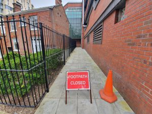
A closed footpath behind John Lewis, although I’m not sure where it normally leads to, unless it’s into the shop. I didn’t investigate given the signage.
The wall here by the car park was pretty much the oldest thing remaining in this area since the council have allowed everything else to be demolished.
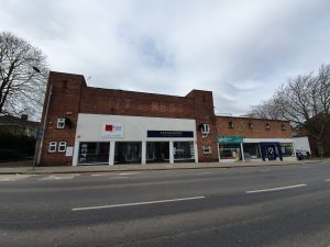
This was once Glasswells Furniture Store, which opened in 1984. The building was later used as a temporary lending library following the disastrous fire which destroyed Norwich central library in August 1994.
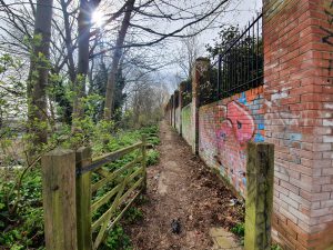
The path which runs behind the properties facing onto Ber Street, connecting Horns Lane with Thorn Lane. Incidentally, there used to be a Twitters Court located just by here, that would have been a popular location today if it had survived. Although I suppose people would have kept pinching the street sign, so perhaps it’s best not to be there any more.
Just to the right, there was a Victorian urinal, handy given how many pubs were in this vicinity. And just by where that sign is today, that would have been the entrance to the Rose Tavern, which was open from the 1850s to around 1910.
Around ten metres further down the road, this is where the Bartholomew Tavern would have stood, a pub that was open from the 1850s until the 1960s. Here’s a photo of it from the 1930s, with the entrance to Bartholomew Street being about where that tree is in the above photo. There’s an interesting dip in the road in that 1930s photo, I hadn’t noticed that before in any images.
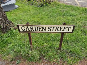
I like it when councils keep street lines when redeveloping an area, it anchors the area to the past even if the buildings are nearly all changed. And, I’ve never paid much attention to Garden Street, but after some checking on a dual map, it’s in exactly the same place as it once was when there was housing in the area. Indeed, the area in front of this sign was once a corner pub, the Carpenters’ Arms. This means that there were three pubs within literally throwing distance.
There’s more information about the Carpenters’ Arms, including a photo, at Norfolk Pubs. The pub closed in 1963, so that the council could build a lovely new car park. One thing you can’t criticise Norwich City Council for is their determination to ensure there is always somewhere for people to park their car in Norwich.
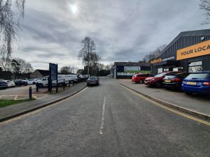
This is Garden Street today and I can see that an effort has been made to bring some light commercial zoning into the area. But, this was perfectly good housing and I think it should have remained for that usage. Instead, it’s mostly now all car park.
That’s another parish done, and there’s surprisingly little history still remaining here, much less than I had expected for an area so close to the city centre. Next week, the other part of the parish which I hope is more history and less car park.

