Streets of Norwich – Eastbourne Place
Part of my Streets of Norwich project….
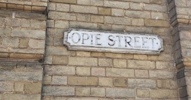
Not much has changed on this little street since the above map was published in 1885. The only change is to the name, as St. Faith’s Lane used to go all the way from Tombland to King Street. It sort of still does, although St. Faith’s Lane as a road name stops at Prince of Wales Road, then becomes Eastbourne Place and then becomes Mountergate.
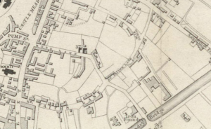
This map, from twenty years earlier, seems to suggest that Eastbourne Place was constructed in the early 1860s as there are no buildings marked here. Why they choose the name Eastbourne, I have no idea…..
And the building would have been possible because of the construction of Prince of Wales Road, which was in the late 1850s (the above map is 1849), which finally opened in 1862.
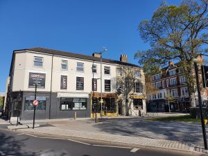
The area in front of Eastbourne Place has been messed around by the council on numerous occasions, the once little wooded area barely now exists, although at least the nearly always broken public toilet has been removed.
The building on the left-hand side, which is now blacked out, was until the 2019 a branch of Domino’s, but it has a long history of being a food outlet, as in the 1860s John Sword opened up a refreshment rooms here which sold tea, coffee and other drinks. He also provided accommodation, which I assume was in the rooms which are now occupied by the nightclub Loft.
The Presto Bar was also here, which housed a 60-foot long model car track, which still exists as Presto Park, although has been much changed over the decades. I think the Presto Bar occupied the same space as the refreshment rooms opened up by John Sword.
This area looks better now than it has for some years, the space in front has been opened out and the number of cars reduced, although some more greenery would be nice. And someone needs to open up where Domino’s once was….

