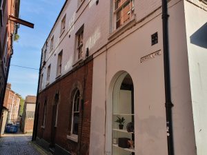
Streets of Norwich – School Lane
Part of my Streets of Norwich project….
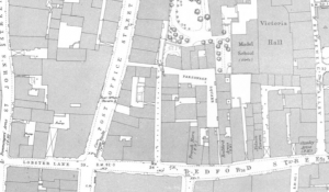
School Yard is located off of Bedford Street, just to the left and above of the letter B of Bedford in the above map from 1885.
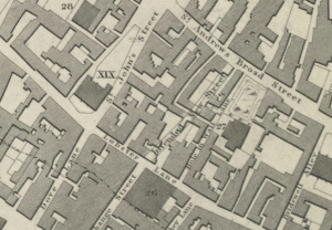
This map from the 1830s suggests that this street was then known as the Hole in Wall Lane, with 27 representing the Girls Charity School. It’s from this that I assume the street takes its current name.
This leads through to St. Andrew’s Street, although I’m not sure that there is a right of way down there.
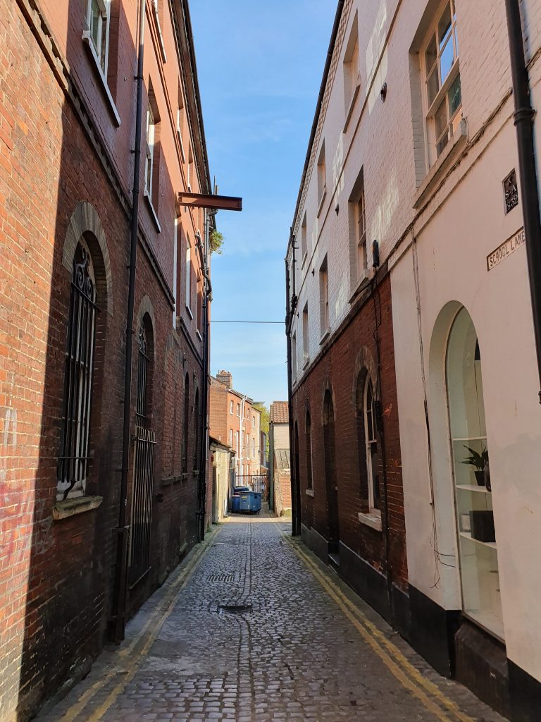
The building on the right is a former granary, but its frontage is on Bedford Street.
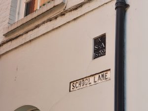
The sign with white writing on a black background denotes that this is the boundary of St. Andrew’s parish.

