Wymondham to Forncett Railway – The Swedes and Swimmers Line
The Wymondham to Forncett railway line was constructed between April 1880 and May 1881, allowing a connection between the Norwich to Cambridge line and the Norwich to London line. This was mainly for freight purposes, but there were passenger services also, with one station along the six-mile route, which was Ashwellthorpe railway station. Wymondham railway station had been open since 1845 and Forncett railway station since 1849, meaning this line only needed the construction of Ashwellthorpe, which opened in 1881.
The line has since been nicknamed the Swedes and Swimmers Line, apparently after the food which the navvies building the railway were eating at the time. This was a combination of swedes, which aren’t particularly delicious in my opinion, and swimmers, which are Norfolk dumplings. I like the idea of naming lines after what the construction staff were eating and drinking at the time, the Crossrail line would be much better if it were called the Greggs and Coffee line.
The service stopped for passengers in the days after the Second World War was announced and although it was only initially intended for the duration of the conflict, the trains never returned here for anything other than freight. The last freight service was on 4 August 1951 and the track was lifted in February 1952.
Some of the line did last longer and I’ll quote the excellent page at Forncett History to tell the story:
“A short two-mile spur of the line remained at the Wymondham end at Hethel until 1976 and in December 1954 this was used to stable the royal train overnight. The spur was subsequently used by Archie King for scrap railway carriages, the wooden superstructures being burnt before the steel undercarriage was broken up. Eventually the scrap dealer realised that there was a market for the more valuable pieces of ornament in the carriages, and they were removed before being torched. In 1967 the North Norfolk Railway rescued the Gresley Quad set of coaches from this scrapyard. In 1970 the actual carriage that had been robbed in the Great Train Robbery seven years earlier was burned here, in the presence of police and Post Office representatives, in order to avoid it becoming the target of souvenir hunters.”
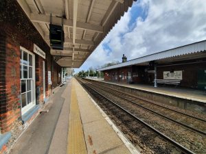
This is Wymondham railway station looking in the Norwich direction, and this railway line spurred off to the left around 250 metres down the line. There’s nothing left of the Swedes and Swimmers line today other than a few bridges, some destroyed bridges and lots of embankments along the route. One thing that became evident to me whilst looking at what was left is just how much soil had to be moved to create those embankments, who says Norfolk is flat?
For anyone wanting to walk a section of the former line, a chunk can be reached by going down Lizard Lane in Wymondham. On my expedition along the railway line I was accompanied by Liam, along with the two younger railway surveyors, Dylan and Leon. They were very helpful indeed, although I think I might have exhausted them with railway history by the end.
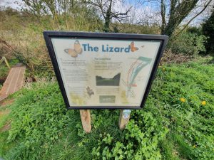
An information board about the Lizard.
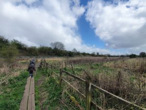
The railway embankment is visible at the rear of this photo, and there’s a circular path for those who want to walk around this area.
This is where the railway line once connected into the Wymondham to Norwich line, now overgrown and also fenced off at the rear.
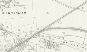
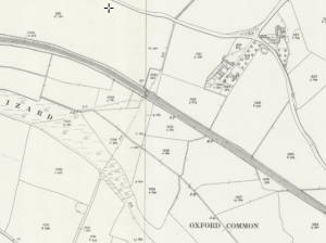
The closed line is the one which goes off to the right on this map.
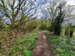
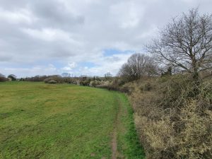
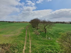
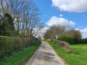
This entire section is on a raised embankment, little changed other than they’ve entirely lifted the track and all evidence of it. Which is quite a bit change I suppose, but the embankment here is intact.
This section of the railway ends here as the A11 has been built in front of it.
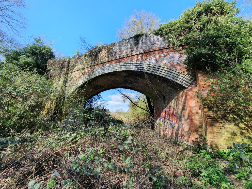
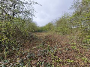
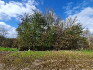
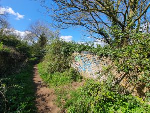
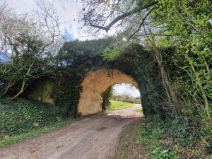
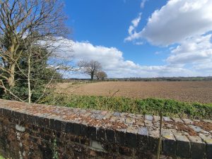
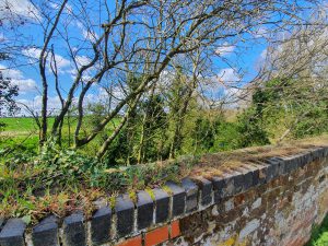
The railway bridge here is intact and it’s possible to walk over it, although that requires fighting through bushes and brambles.
The side of the bridge, where Dylan randomly found a Geocache. I thought it was some abandoned rubbish, but he clearly has a better eye for hidden treasure than I do.
The A11 is around 50 metres in front at this point.
The A11 now cuts through here from north to south.
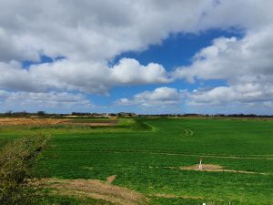
This photo was taken on a gazebo type structure, showing the embankment. At this stage we walked back to the start, ready to go to the next section of the former line.
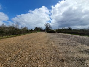
This photo was taken in the staff car park of Goff Petroleum, where the line once went straight through.
Looking in the other direction, there’s not much evidence of the line here in the car park….
We moved on a little at this point, this photo looks back towards Goff and a huge gravel pit has appeared in recent decades. The former route of the line is visible snaking through the middle of the photo, although the section in the foreground has been removed.
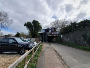
I took this photo, and the one above, on the railway bridge which is on Bridge Road. This one shows the view from the other side of the bridge.
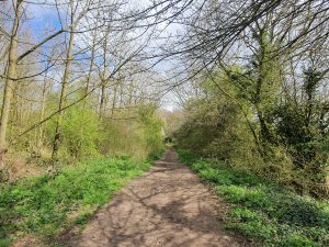
This is Long’s Wood, an area of land given to the community by Dennis Long in 1994, and what a rather lovely contribution it is. The railway line goes through the centre of the wood and there’s also a trail that children (and indeed adults) can follow. Dylan and Leon liked looking for the various 20 different bosses around the site, I think we found just under half of them.
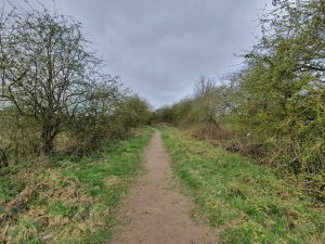
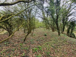
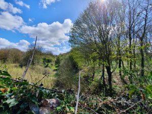
The line further down in Long’s Wood.
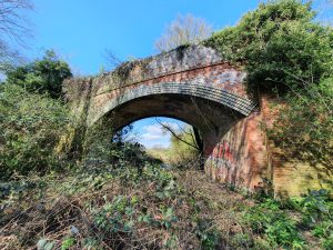
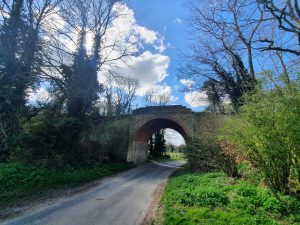
This is the railway bridge at the northern end of Long’s Wood.
Looking over the bridge towards Wymondham.
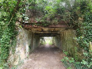
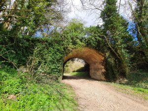
Underneath the bridge, which today seems rather superfluous and isn’t used by traffic of any kind, but perhaps it was once useful for farm machinery.
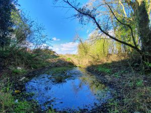
Now rather moist, this is the former track under the bridge.
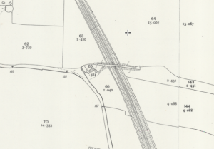
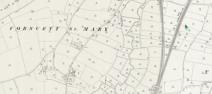
And this is what that bridge crossing looked like 100 years ago on the map.
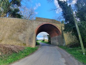
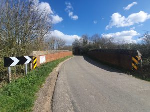
Moving a little further down the line, this is the view of the bridge at Wymondham Road.
And looking the other way.
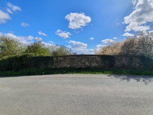
This section of bridge on Ashwellthorpe Road survives on one side, with the railway then running parallel to the road for a short distance.
The Blacksmiths Lane bridge.
The bridge at Blacksmiths Lane from the other side.
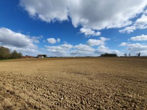
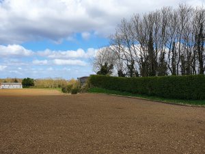
At Blacksmiths Lane, the railway went across this field, but there’s no evidence of that unless looking on overhead views, where it’s sort of visible in crop markings.
The railway came sweeping in near to High Road / Blacksmiths Lane, in this place not quite meeting the road, although it crossed it a little further up.
The bridge at High Road / Blacksmiths Lane.
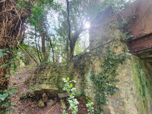
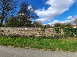
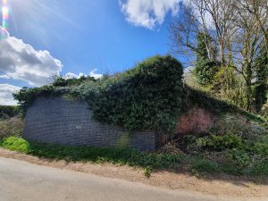
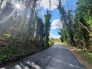
This is all that remains of the Fundenhall Road bridge, what looks from this angle just like a small vertical section of stone.
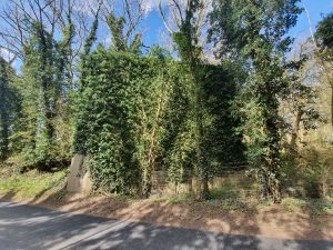
From the other side, the support for the bridge is more substantial than it initially appears.
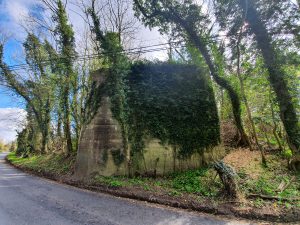
The other side of the bridge on Fundenhall Road.
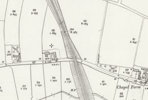
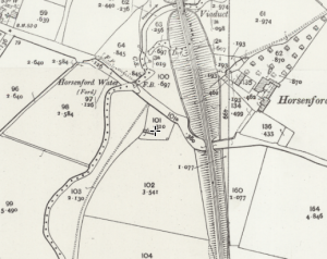
This is what that section looked like on the map.
The Bayes Lane crossing looking away from Wymondham, with my photo taking opportunity limited here as a family were having a picnic. I thought they might consider it strange if I took a photo of them busily eating their lunch.
The Bayes Lane crossing looking towards Wymondham.
I’m slightly surprised that they haven’t taken down this section at Chequers Hill, it’s a large section of viaduct that is quite near to where the Norwich to London mainline is. I think it would be possible to get up the right-hand side and they’ve put fencing on top of the bridge there to stop people falling off the structure, but I decided not to try and scramble up as that often leads to me scrambling back down again soon after in a way that isn’t ideal. I’m really not a born climber, but I might see if Liam fancies popping up there to get some photos in the future. He doesn’t seem to slide back down slopes in the way that I do.
The map of Chequers Hill.
The other side of the bridge at Chequers Hill.
The bridge which carries the Norwich to London mainline.
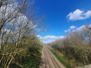
And this is the track of the mainline, looking towards Norwich.
And this is where the former junction where the lines met, although nearly all trace of this has now gone.
Although significant chunks of the route can be walked along, there are also sections across private fields where farmers wouldn’t appreciate people trekking. The line was six miles long, but anyone wanting to walk the route would now need to walk probably ten miles, as there would be some diversions along the road in several places. For those who like railway heritage, it’s an interesting piece of transportation history though. In terms of the walk, the sections at The Lizard and Long’s Wood are perhaps slightly hidden treasures in the countryside.
I often write that closing railway stations is a mistake, and it’s clear that there was very limited passenger traffic to be had at either Ashwellthorpe or Forncett. It wouldn’t be too challenging to put the Forncett railway station back if there was ever a demand, but there clearly isn’t at the moment with such a small population. It would also slow down the Norwich to London trains, where there is already pressure on them to speed up as part of the 90 minute journey pledge.
However, removing the track does seem like a mistake to me, as this was a potentially very useful line that connected the two lines without going into Norwich. Even if passenger services aren’t necessarily required via something like Diss to Thetford, it might well have been useful for Greater Anglia to have been able to move trains about with a little more ease. And if there was an obstruction anywhere around Norwich, this might have performed a useful function in moving trains. Also, it might not have been unhelpful to connect Thetford, Attleborough and Wymondham to stations such as Diss and Stowmarket, otherwise passengers have to go into Norwich or Cambridge to make that connection.
There will be more in another post about the three railway stations that this line was served by, which were Wymondham, Ashwellthorpe and Forncett. Wymondham is still there and in use, Ashwellthorpe railway station is now a private residence and Forncett is no longer a station, but the track is still the mainline. My story about those railway stations might drone on for quite a while, hence why that can wait for another post.

